Using Vibrations and AI, Future Robotic Missions Could Handle Buried Rocks Autonomously
One of the most persistent challenges in planetary exploration is understanding what lies beneath the surface before a mission ever begins. Knowing a planet's surface and subsurface structure is absolutely vital when planning both robotic and crewed missions. Before landers, rovers, or crew modules ever touch down, astronauts and mission controllers must have a clear picture of what they will encounter — not just on the surface, but beneath it. For rovers operating under strict energy budgets, the ability to gauge how far rough, rocky terrain extends below ground is not merely convenient; it can be the difference between mission success and costly failure.
When an obstacle like a large embedded rock formation blocks a rover's path, mission teams face a critical decision: attempt to remove it or plot an alternative route. Making that decision wisely requires knowing how deep the rock extends into the soil. Without this information, a rover might waste precious power and time attempting to dislodge an obstacle that is effectively immovable — a potentially catastrophic inefficiency on a mission hundreds of millions of kilometers from home.
Now, thanks to a research team from Virginia Polytechnic Institute and State University (Virginia Tech), scientists may soon have a powerful new set of tools to address this challenge. Their approach harnesses artificial intelligence (AI) and acoustic vibrometry to allow robotic missions to autonomously determine subsurface rock geometry and burial depth — without direct excavation or invasive probing.
The Science Behind the Solution
The study was led by Yiyan Ruan, a Ph.D. candidate at Virginia Tech, under the guidance of Erik Komendera, an assistant professor of mechanical engineering who previously served as a researcher at NASA's Langley Research Center. Their findings were published in the peer-reviewed journal IEEE Sensors Journal, a leading publication in sensor technology and instrumentation science.
The fundamental physics underlying their method is well-established: when a solid object is struck, it vibrates in ways that are directly influenced by its material properties, geometry, and boundary conditions — including how deeply it is embedded in a surrounding medium like sand or soil. This principle, known as impulse excitation technique (IET), has long been used in materials science and civil engineering to characterize structures non-destructively. Ruan and Komendera's innovation lies in applying this principle to planetary science and robotics, combining it with modern machine learning to interpret the complex vibrational signatures that result.
"For as long as humans have built things on Earth, we have had to deal with large and heavy obstacles that cannot simply be ignored or scooped out of the way without careful planning. It's easy enough for us to just look at rocks and make some quick, testable judgments. Is this rock resting or partially buried? Can I move this alone or do I need help and tools? But what if robots need to do this? How can robots make those judgments? Now we have an answer." — Erik Komendera, Virginia Tech
Experimental Design: Concrete Blocks, Sand, and a Laser
To test their approach rigorously, the research team constructed a controlled analog experiment. They buried 18 concrete blocks of varying shapes and sizes in sand at a range of different depths, simulating the kind of partially embedded rock formations that rovers on the Moon or Mars might realistically encounter. The exposed portions of each block were then struck with an instrumented hammer — a precision tool that measures the exact force and duration of each impact — generating controlled mechanical impulses.
The resulting vibrations were captured remotely using a Laser Doppler Vibrometer (LDV), an instrument that uses the Doppler effect of laser light to measure surface velocity and displacement with extraordinary precision, entirely without contact. This non-invasive measurement approach is particularly well-suited to robotic applications, as it requires no physical connection to the object being analyzed. LDV technology has previously been explored for applications in structural health monitoring, micro-electromechanical systems (MEMS) testing, and even biomedical imaging.
The vibrational data collected from these experiments were then fed into a Multilayer Perceptron (MLP), a type of artificial neural network specifically designed to learn complex, non-linear relationships between input features and output predictions. The MLP was trained to map 11 measurable features — derived from both the vibrational response and the exposed geometry of each block — to an estimate of the block's burial depth.
"Estimating how deep a rock is buried using vibrations can be tricky. The feedback is affected by the rock's geometry and the way the soil holds it. By carefully selecting features from vibration measurements and exposed geometry, we were able to produce reliable data using a compact neural network with just two hidden layers." — Yiyan Ruan, Virginia Tech
Why AI? The Complexity of Subsurface Inference
The challenge of inferring burial depth from vibrational data is formidable precisely because so many variables interact simultaneously. The frequency and amplitude of a rock's vibration depend not only on how deep it is buried, but also on its mass, shape, composition, the packing density of surrounding soil, and the angle and force of the impact. Traditional analytical models struggle to account for all of these interdependencies reliably.
Machine learning, and specifically neural networks, excel in exactly this kind of high-dimensional, non-linear pattern recognition task. By training on a diverse dataset of experimental measurements — spanning a wide range of block geometries and burial depths — the MLP was able to learn the subtle relationships between vibrational signatures and subsurface structure in ways that rule-based algorithms simply cannot replicate. The team's decision to use a relatively compact two-hidden-layer architecture is also significant: it suggests the model is computationally efficient enough to potentially run on the limited onboard computing resources available to planetary rovers.
This efficiency matters enormously in the context of deep-space robotics. Missions like NASA's Perseverance rover and future crewed lunar surface operations under NASA's Artemis program operate under tight constraints on power, computation, and communication bandwidth. An AI system that can make autonomous, real-time decisions about subsurface obstacles — without waiting for instructions from Earth — represents a significant leap forward in rover autonomy and operational efficiency.
Implications for Planetary Exploration
The potential applications of this technology for space exploration are broad and compelling. Consider the following scenarios where autonomous subsurface sensing would be transformative:
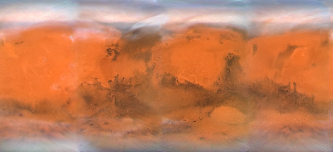
- Martian surface operations: Future rovers tasked with sample collection, construction of infrastructure, or preparation of landing zones could autonomously assess whether rocks blocking their path are surface-resting or deeply embedded, optimizing their energy expenditure accordingly.
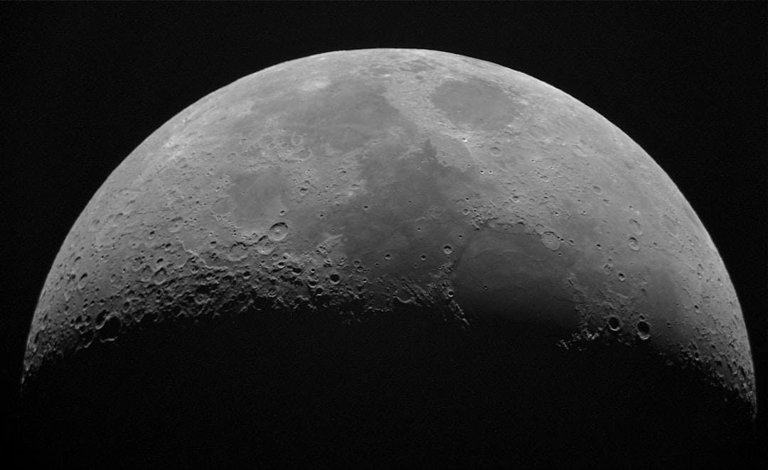
- Lunar polar exploration: Missions targeting the Moon's south polar region — where water ice deposits are believed to exist in permanently shadowed craters — could use vibrational sensing to locate and characterize subsurface ice layers without drilling blindly.
- Asteroid and small body exploration: Understanding the subsurface structure of asteroids or comets is critical for resource extraction missions and planetary defense strategies. Vibrational techniques could provide rapid, non-destructive assessments of these bodies' interiors.
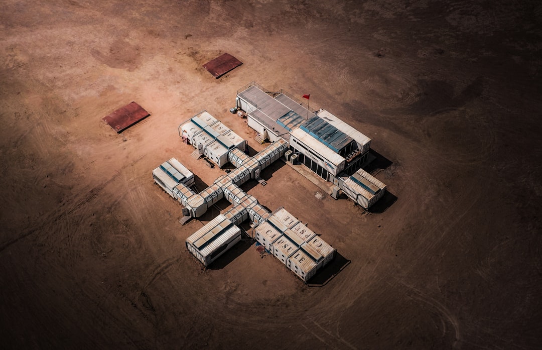
- Site preparation for human habitation: As space agencies plan for sustained human presence on the Moon and eventually Mars, the ability to characterize and prepare construction sites autonomously will be essential for building habitats and infrastructure safely.
- Excavation planning: Robotic systems tasked with extracting resources — such as regolith for radiation shielding or water ice for life support — would benefit enormously from knowing in advance what subsurface obstacles they might encounter.
The timing of this research is particularly relevant given the current acceleration of lunar and Martian exploration programs worldwide. ESA's Mars Express, NASA's ongoing Mars surface missions, and planned Artemis lunar landers all stand to benefit from improved subsurface characterization capabilities. Integrating autonomous vibrational sensing into future rover designs could significantly enhance their operational independence and scientific return.
Terrestrial Applications: Beyond the Final Frontier
While the space exploration implications are exciting, the research team is careful to note that their technology has equally compelling applications closer to home. The same fundamental challenge — inferring what lies beneath the surface without direct excavation — arises constantly in terrestrial contexts.
Ruan and Komendera's team is actively expanding their dataset and refining their models for a range of Earth-based applications, including:
- Construction site analysis: Identifying buried foundations, utility lines, or geological hazards before breaking ground.
- Natural disaster response: Locating buried survivors or hazardous materials beneath rubble following earthquakes, landslides, or building collapses.
- Geological surveying: Characterizing unstable rock formations and underground cavern systems for safety and resource planning.
- Archaeological investigation: Non-invasively detecting buried artifacts or structural remains without disturbing fragile sites.
- Infrastructure monitoring: Assessing the integrity of buried pipelines, cables, or foundations over time.
The dual-use nature of this research — advancing both space exploration and terrestrial engineering — underscores a broader truth about fundamental science: breakthroughs made at the frontier of exploration almost invariably find their way back to benefit life on Earth in unexpected and valuable ways.
Looking Ahead
The work of Ruan and Komendera represents an early but promising proof of concept. Their experiments used concrete blocks in sand as analogs for rocks in planetary regolith — a reasonable starting point, but one that will need to be refined with more geologically realistic materials and geometries as the research matures. Future work will likely need to account for the specific properties of Martian or lunar regolith, variable gravitational conditions, temperature extremes, and the vacuum environment of space — all of which could influence vibrational behavior in ways not captured by terrestrial sand-box experiments.
Nevertheless, the fundamental approach — combining non-contact vibrational measurement with AI-driven pattern recognition — is scientifically sound, computationally feasible, and technologically timely. As the next generation of planetary rovers and landers becomes increasingly autonomous, tools like these will be indispensable for enabling machines to make intelligent, energy-efficient decisions in environments too distant and too dynamic for human controllers to manage in real time.
In a very real sense, teaching robots to listen to the ground beneath them may be one of the most important steps we take toward ensuring they can explore it safely and effectively — whether on the red plains of Mars, the icy craters of the Moon, or the diverse and unpredictable terrain of our own planet.